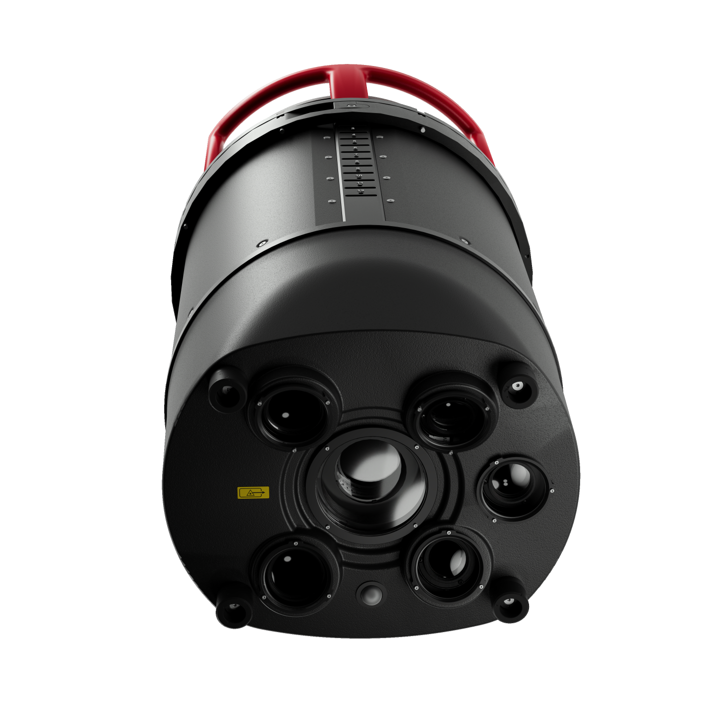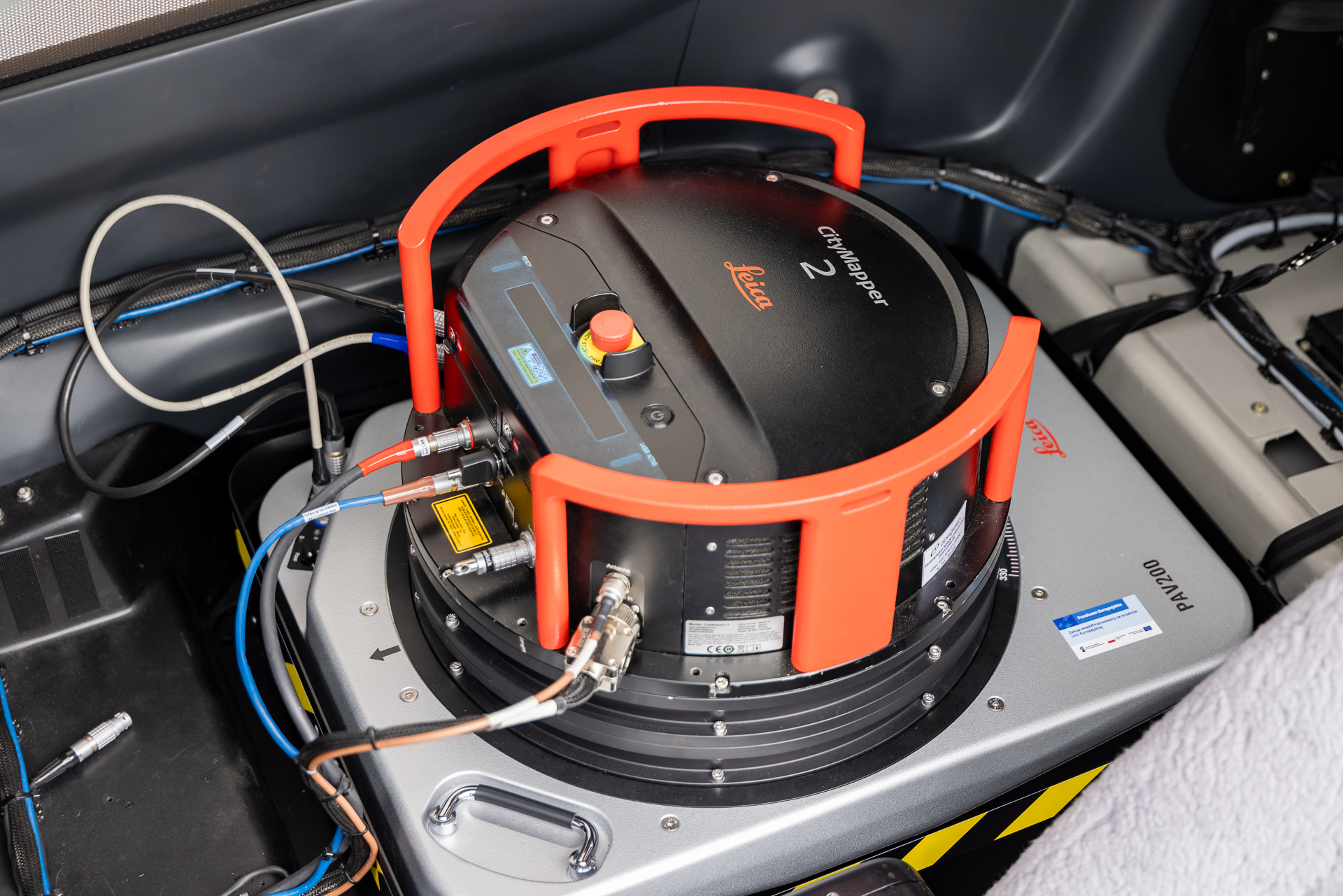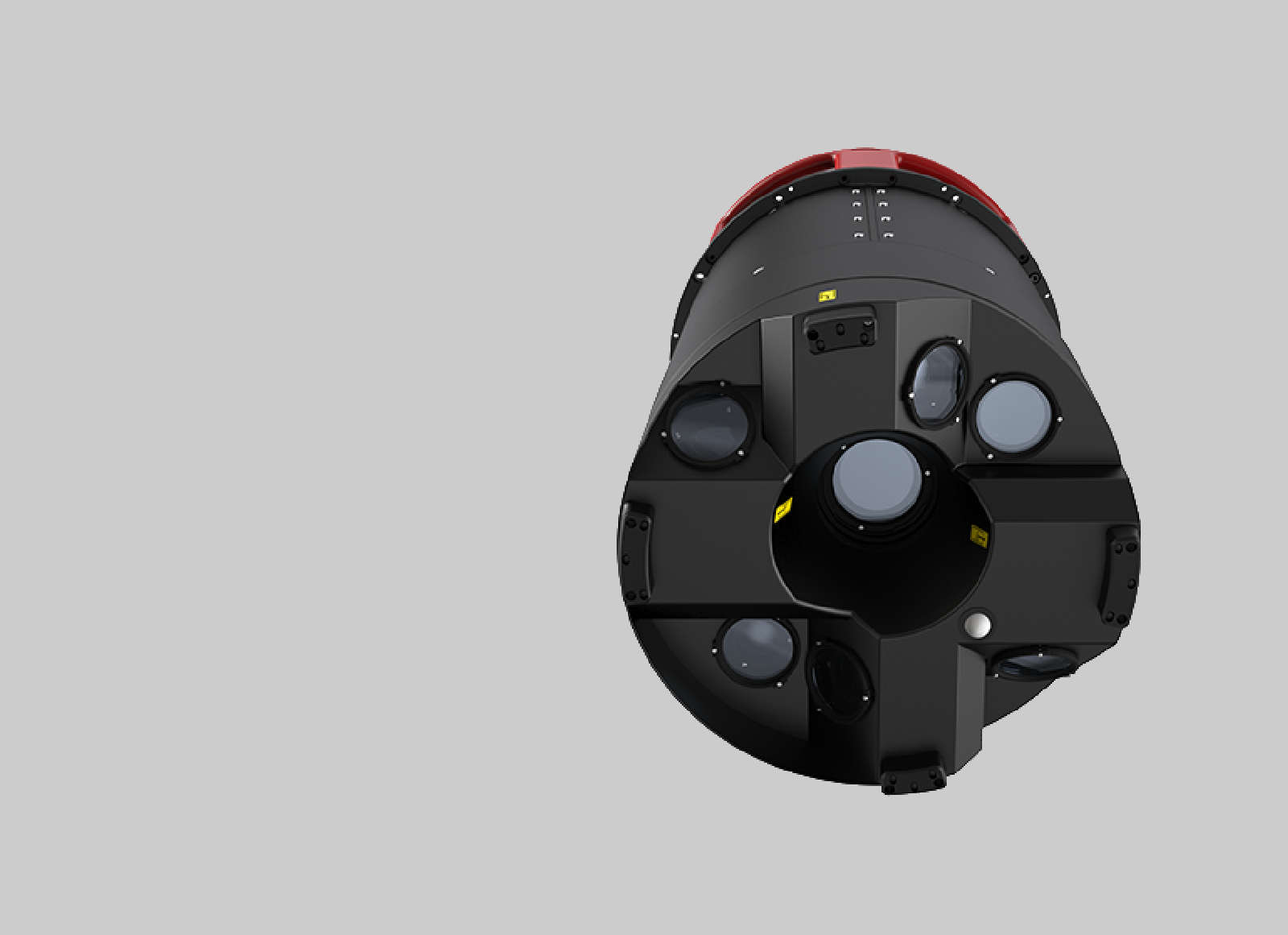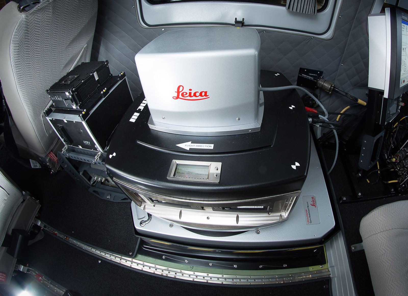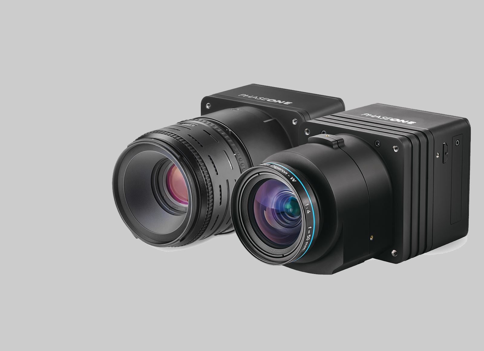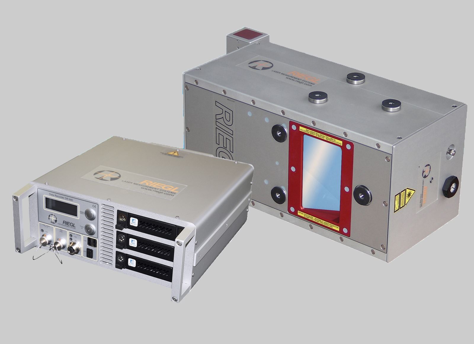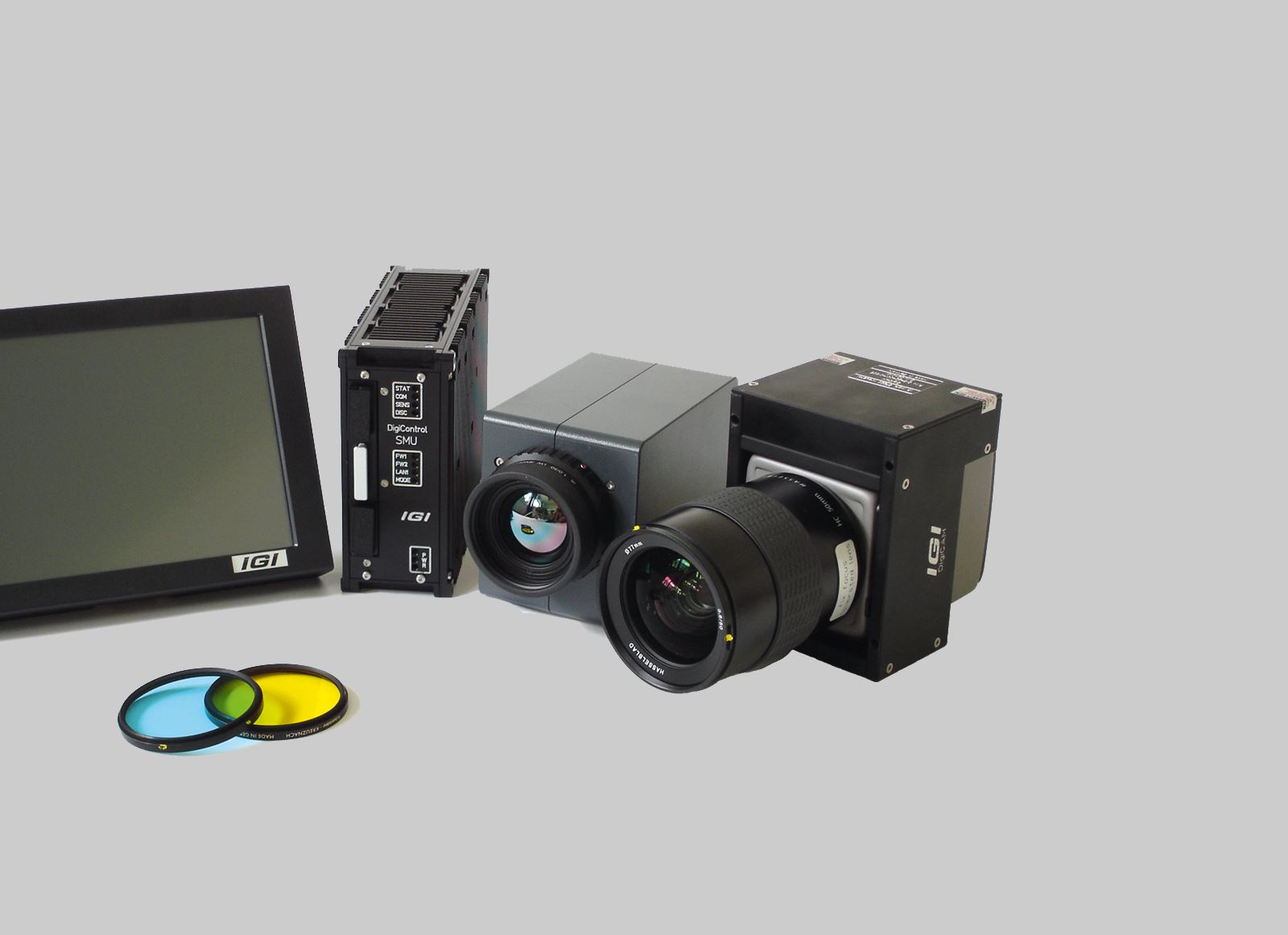


A versatile hybrid sensor optimized for large-area data collection, combining a large-format photogrammetric camera (31,520 x 13,440 pixels RGBN) with high-performance LiDAR. Features 58.0° image FOV and programmable 10-60° LiDAR FOV. Enables acquisition of highly consistent foundational geospatial data with fewer flying lines, reducing carbon footprint. This specialized equipment is ideal for various field applications, including large-area orthophoto creation, forest monitoring, and comprehensive assessment of ground infrastructure.